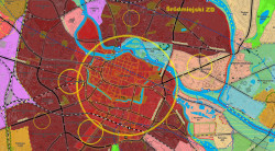
PREVIOUS SPATIAL DEVELOPMENT STUDY
Previous Wrocław Study of Spatial Development from 2010
Study of spatial development is a document defining spatial policy od the municipality. Study ... regulations are general in nature and concern areas bigger than individual lots and buildings.
Their main granularity is "Urban complexes" subdivision.
Study ... is legally binding during creation of local plan. It may not be a base for any administrative decisions.
The text of the Study is not available to read in our maps. You can read and download it by going to https://baw.um.wroc.pl/DocumentByNumber/L_1467_10
Detailed information on planned land use as regulated by the Study
The information is available upon identification of any item within "Urban complexes" layer and clicking  icon.
Unfortunately it is not available in english.


